Chilly Arctic Air Mass Sends UK Temperatures Plunging 10°C Below Last Week's Highs
After a balmy Bank Holiday weekend that saw thermometers hit 25°C, a northerly blast is set to bring widespread frost, with rural northern areas potentially dropping to -5°C.

UNITED KINGDOM —
Key facts
- Wednesday is forecast to be the coldest day, with daytime highs of 9–15°C, a degree or two below the May average.
- Overnight temperatures could fall to -4°C in eastern Scotland and -1°C in northern England, with a widespread frost expected.
- Met Office forecaster Tom Morgan warned of 'damaging frost' in rural spots, where -5°C is possible.
- The cold snap follows two weeks of warm weather that peaked at 25°C on Friday, representing a roughly 10°C drop.
- Low pressure moving near the north-west on Thursday will bring a southerly wind, lifting temperatures closer to seasonal norms.
- Pollen levels are forecast to remain low, offering relief to hay fever sufferers, while UV levels are expected to be moderate.
- Southern and eastern areas, which experienced a very dry April, are unlikely to see significant rainfall in the coming days.
- Showers may contain snow over Scottish mountains, but many areas will remain largely dry.
A Sudden Chill Replaces Spring Warmth
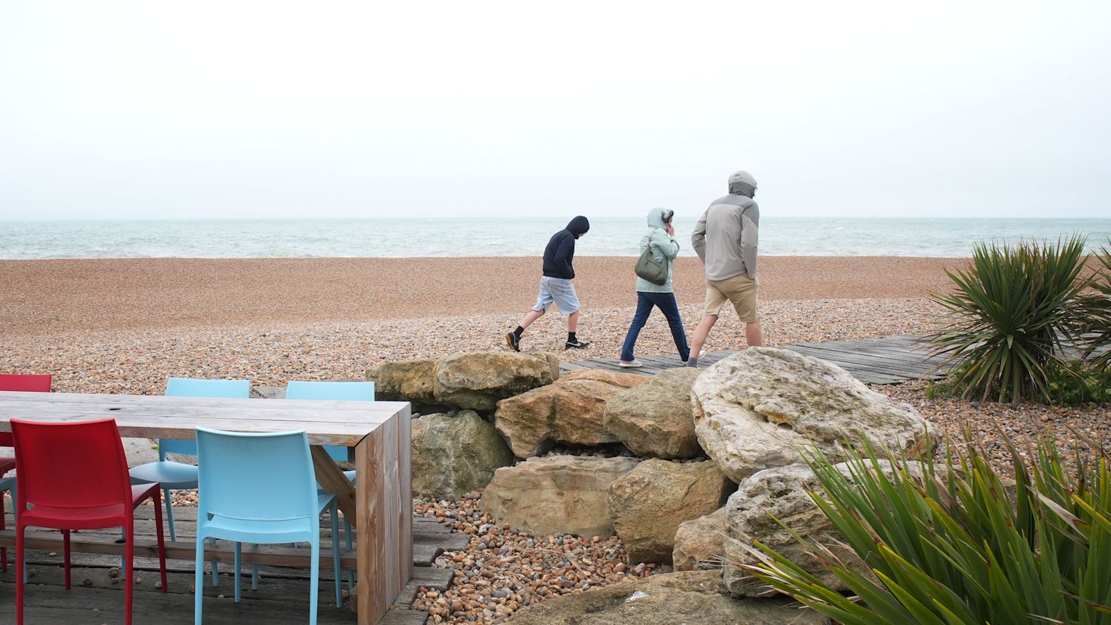
Temperatures across the United Kingdom are set to drop sharply this week as a cold Arctic air mass pushes southward, replacing the unseasonable warmth that saw thermometers hit 25°C in some places last Friday. The shift, driven by a northerly wind, marks a dramatic reversal from the balmy Bank Holiday weekend and the preceding two weeks of sunshine. Wednesday is expected to be the coldest day for most regions, with maximum temperatures ranging from 9°C to 15°C (48–59°F) — a degree or two below the early May average. In the north, highs may struggle to reach 7°C or 8°C, while southern areas will see around 15°C. The drop is particularly stark when compared to last week's peak, representing a roughly 10°C swing in just a few days. Despite the suddenness, forecasters note that such temperature swings are common in spring. The recent warmth was exceptional, while the current values are closer to the seasonal norm. 'It was last week's heat that was exceptional rather than the cooler values this week,' one analysis noted.
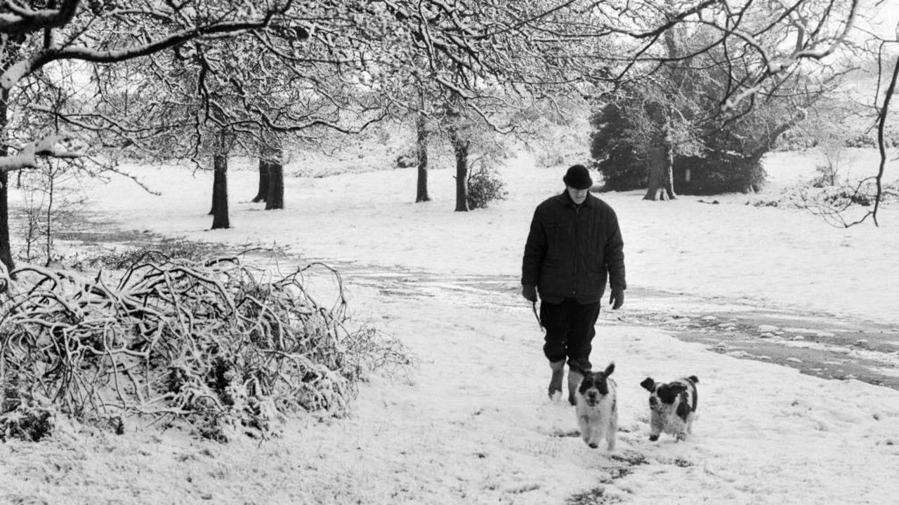
Overnight Frost Threatens Gardens and Crops
The most significant impact of the cold spell is expected overnight on Tuesday into Wednesday, when clear skies and light winds will allow temperatures to plummet. In eastern Scotland, the mercury could fall to -4°C, while northern England may see -1°C, with a widespread frost likely. In rural northern areas, the Met Office has warned of potentially 'damaging frost,' with temperatures possibly reaching -5°C in prone spots. Met Office forecaster Tom Morgan explained the conditions: 'As the isobars space apart, the winds will ease down and that's a recipe for not only one or two fog patches, but also a much colder night. So in the countryside we can see a fairly widespread frost to begin the day on Wednesday. In more northern parts of the UK, -4°C or -5°C is possible in some prone rural spots, so gardeners and growers, take note of that, we may have some damaging frost.' The frost warning is particularly relevant for agricultural regions and home gardeners, as tender plants that benefited from the recent warmth could be at risk. The cold snap, while not unprecedented for May, is notable for its intensity and the speed of its arrival.
Wind Shift Drives the Arctic Plunge
The cause of the temperature drop is a shift in wind direction to the north, bringing cold air directly from the Arctic. This 'Arctic plunge,' as it has been termed in some media, is simply a meteorological description of a northerly airflow. At all times of year, winds from the north carry colder air because the Arctic remains a cold region, while southerly winds tap into warm tropical air from North Africa or southern Europe. On Tuesday and Wednesday, the wind will switch to a northerly direction, forcing the cold air southward across the UK. By Thursday, low pressure moving close to the north-west will introduce a southerly wind, gradually lifting temperatures back toward seasonal norms. However, the transition will be slow, and the cold conditions will persist through midweek. The forecaster emphasized that the dramatic drop is more a reflection of the contrast with last week's heat than an indication of extreme cold. 'An Arctic Plunge just means cold air moving in from the north,' one analysis noted, demystifying the term.
Rainfall Remains Scarce in Already Dry Regions
While the cold air brings a risk of frost, it does not promise widespread precipitation. Many areas will remain largely dry over the next few days, with only scattered showers expected. Southern and eastern parts of England, which experienced a very dry April, are unlikely to see much — if any — rainfall. This raises concerns about ongoing dry conditions, though forecasters have not yet indicated a return to drought. Showers are more likely in northern and western areas, with some possibly containing snow over Scottish mountains. On Thursday, northwestern Scotland will be cloudier with outbreaks of showers, while England and Wales are expected to have a drier day. By Friday, any part of the UK could see some showers, but the overall pattern remains one of patchy cloud and sunny spells rather than sustained rain. The lack of rain in already dry areas may exacerbate water shortages, but the immediate focus remains on the cold temperatures and frost risk.
Milder Weather Expected by the Weekend
The cold interlude is expected to be short-lived. By Thursday, temperatures will begin to recover, with southern areas reaching 14°C or 15°C, and northern Scotland seeing 9°C or 10°C. The southerly wind will gradually bring milder air, and by Friday, 'strong May sunshine' is forecast to brighten the morning, with temperatures rising to 16°C or 18°C. However, the improvement comes with a caveat: Friday afternoon could bring showers anywhere in the UK, according to the Met Office. The weekend outlook suggests a return to more typical spring conditions, with a mix of sun and cloud and temperatures near the seasonal average. For now, residents are advised to prepare for a cold midweek, with frost likely in many areas. The brief but sharp chill serves as a reminder of spring's volatility, even as the longer-term trend points toward warmer days ahead.
The bottom line
- Wednesday will be the coldest day, with highs 9–15°C and overnight frost as low as -5°C in rural north.
- The cold snap is caused by a northerly Arctic air mass, not an unusual phenomenon for May.
- Gardeners and growers should protect plants from potentially damaging frost on Wednesday morning.
- Southern and eastern areas will remain dry, with little rainfall expected despite the cold conditions.
- Temperatures will recover by Friday, reaching 16–18°C, but showers may return in the afternoon.
- Pollen levels are low, offering relief for hay fever sufferers; UV levels are moderate.


Lakers Face Uphill Battle Against Thunder Without Dončić in Western Conference Semifinals

In 'The Cage,' a Casino Heist Becomes a Devastating State-of-the-Nation Drama
