May bank holiday weekend: heavy rain and thunderstorms to follow warm start
Temperatures in eastern England could reach 25°C on Saturday before a cooler, unsettled front brings downpours across southern areas.

UNITED KINGDOM —
Key facts
- Temperatures in eastern England may hit 25°C on Saturday.
- A weather front from Biscay will trigger showers and thunderstorms in southern and central areas by Saturday.
- By Monday, temperatures across the UK are expected to fall below 20°C.
- Parts of south-east England could see highs of 26°C (79°F) on Friday, well above the early May average of 16°C (61°F).
- Bedford and Shoeburyness in Essex received only 2% of their average April rainfall.
- The warmest May Bank Holiday weekend on record was 28.7°C at Northolt, London in 2018.
- Scotland and Northern Ireland are expected to see the best sunshine on Monday.
A warm start gives way to unsettled conditions
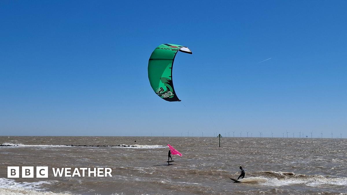
Millions of Britons heading away for the early May bank holiday weekend will see a bright and sunny start on Saturday, but the weather is set to turn wetter and more unsettled as the weekend progresses. Temperatures in parts of eastern England could reach 25°C on Saturday, well above the seasonal average, but other regions will experience heavy downpours and possible thunderstorms. Meteorologist Greg Dewhurst noted that while temperatures are beginning to cool, they remain above average for this time of year in sunnier moments. The shift to more unsettled weather coincides with the bank holiday, a pattern that forecasters describe as typical for the long weekend.
Southern England faces a 'real soaking'
The Met Office has warned of wet weather and heavy downpours across southern parts of the UK throughout the weekend. Meteorologist Alex Deakin stated that northern areas may remain largely dry, but the south will see showers, with some areas in southern England potentially receiving a “real soaking”. Met Office spokesman Grahame Madge said that Saturday brings the prospect of “quite heavy, thundery showers” moving into parts of southern England, with widespread showers overnight Saturday into Sunday. From Sunday onwards, a cooler influence will bring additional showers.
Temperature drop and thundery risks on Monday
Bank Holiday Monday will see highs ranging from 11°C to 19°C, a significant drop from the weekend's top temperature of 23.2°C recorded on Saturday at Kew Gardens, London. Scotland and Northern Ireland are expected to enjoy the best of the sunshine, while England and Wales remain mostly cloudy, with southern parts at risk of heavy and thundery downpours. Despite the sunny start to Saturday, the weekend overall has been considerably cooler than the record for the warmest May Bank Holiday weekend, when 28.7°C was reached at Northolt in London in 2018. On Sunday afternoon, most of England was dry but overcast, following morning rain in the north.
A dry April contrasts with a wet weekend
High pressure had dominated the UK recently, leading to an unusually dry April, particularly in eastern England. Bedford and Shoeburyness in Essex received only 2% of their average April rainfall, while Cambridge and Herstmonceux in East Sussex had just 4%. The approaching weather front from Biscay, combined with a weak area of low pressure, will trigger showers and thunderstorms across southern and central areas heading into Saturday. This system will move northwards and eastwards, bringing more unsettled conditions and fresher air across the UK.
Cooler week ahead with below-average temperatures
The rest of the week is expected to feel cooler, with variable cloud, occasional sunshine, and a few showers, mainly across northern parts of the UK. Wednesday is forecast to be the coolest day, with highs just below 10°C in the north and around 15°C in the south, below average for the time of year. Met Office deputy chief forecaster Tom Crabtree said that by Friday, conditions become more unsettled, with rain and showers spreading in from the southwest, some possibly heavy and thundery. Into the bank holiday weekend, the weather looks more changeable, with showers at times – particularly in the north – but also some sunnier intervals.
The bottom line
- The May bank holiday weekend will start warm but turn unsettled with rain and thunderstorms, especially in southern England.
- Temperatures will drop from highs of 25°C on Saturday to below 20°C by Monday.
- Scotland and Northern Ireland are likely to see the best sunshine on Monday.
- The weekend's weather is a sharp contrast to an unusually dry April in eastern England.
- Cooler, below-average temperatures are expected for the following week.
- The record for the warmest May Bank Holiday weekend remains 28.7°C set in 2018.


In 'The Cage,' a Casino Heist Becomes a Devastating State-of-the-Nation Drama

Shevlin double fires Coleraine to Irish Cup glory in seven-goal thriller

How David Attenborough risked death and a coup to make the greatest nature series ever