New Zealand Braces for 140km/h Gales and Heavy Rain
Potentially destructive winds and significant rainfall are forecast to sweep across the North and South Islands, prompting multiple weather alerts.

NEW ZEALAND —
Key facts
- Winds of up to 140km/h are forecast for parts of the North and South Islands.
- More than 30 hours of wet weather and severe gales are expected for central and southern New Zealand.
- Six orange heavy rain warnings are in place until Saturday morning.
- Four strong wind warnings span Canterbury to Taranaki until Saturday morning.
- Up to 350mm of rain is forecast for the Tasman District's ranges.
- MetService has issued 16 weather alerts across the country.
- A second low-pressure system is expected to bring further rain from Friday night.
Destructive Winds and Rain Threaten New Zealand
Potentially destructive gales reaching 140km/h are poised to strike parts of New Zealand's North and South Islands as a complex weather system moves across the country. This front, bringing heavy rain, is expected to stall over the top of the South Island, while a second low-pressure system sweeps in from the west. The combined impact is forecast to deliver more than 30 hours of severe weather to central and southern regions. MetService has responded by issuing a significant number of alerts, with 16 warnings now in effect from the bottom of the country to Taranaki. These warnings underscore the severity of the impending conditions, which could lead to rising streams and landslides due to the saturated ground from earlier rainfall. Authorities are urging the public to take the orange-level warnings seriously. While not the highest alert level, the forecast winds are described as being on the higher side, necessitating preparation and increased caution, particularly for drivers.
Widespread Warnings Issued Across Two Systems
The current weather situation involves two distinct but overlapping systems. The first system began impacting the country on Thursday, bringing rain that was expected to ease in some South Island areas by Friday night. This front moved northwards over the South Island and was forecast to stall over its northwest region on Friday. A second, more potent system is set to arrive from Friday night, bringing with it a renewed bout of heavy rain and severe gales. Orange strong wind warnings have been issued for Taranaki, Wellington, and parts of Marlborough and Canterbury, anticipating gusts of up to 140km/h. These are in effect until Saturday morning. Complementing the wind warnings, six orange heavy rain warnings are also in place, covering areas stretching from Canterbury to Taranaki. These are also active until Saturday morning, signalling a prolonged period of potentially hazardous weather.
Specific Rainfall Totals and Areas of Concern
The Tasman District, specifically the areas northwest of Motueka, is bracing for substantial rainfall. MetService forecasts that up to 350mm of rain could fall in these ranges between noon and 7pm on Friday. In a worst-case scenario, accumulations could even reach 400mm in some elevated areas. Further south, the Buller District's ranges are also expected to receive significant precipitation. Up to 300mm of rain is forecast for these areas over a 33-hour period, commencing at 10am on Friday and concluding at 7pm on Saturday. Lesser amounts are anticipated closer to the coast. Heavy rain warnings also remain active for other regions, including Tasman, Buller, Westland, and parts of Canterbury and Otago, indicating a broad swathe of the country will experience substantial downpours.
Preparing for the Impact of Saturated Ground
The timing of this second weather system is particularly concerning, as it follows a period of initial rainfall that has already left much of the ground saturated. A MetService meteorologist highlighted that this pre-existing condition significantly increases the risk of natural hazards. "This will mean rising streams and rain on already wet soil so there’s a chance of slips," the meteorologist explained. The combination of persistent rain and potentially destructive winds raises the likelihood of landslips and surface flooding, posing risks to infrastructure and communities. Residents and authorities are advised to prepare for these conditions. The warnings, though classified as orange, signal a need for vigilance. People are encouraged to take proactive steps to secure property and stay informed about weather updates, while drivers are specifically cautioned to exercise extreme care on the roads due to the expected high winds and potential for reduced visibility and hazardous driving conditions.
The bottom line
- New Zealand faces a dual threat of severe gales up to 140km/h and prolonged heavy rainfall.
- The weather system is expected to bring over 30 hours of disruptive conditions to central and southern parts of the country.
- MetService has issued 16 alerts, including orange warnings for strong winds and heavy rain in multiple regions.
- Specific areas like the Tasman District's ranges could see up to 350mm of rain, increasing landslide risks.
- The ground is already saturated from previous rainfall, exacerbating the potential for slips and rising streams.
- Authorities urge residents to prepare for the severe weather and exercise caution, especially drivers.

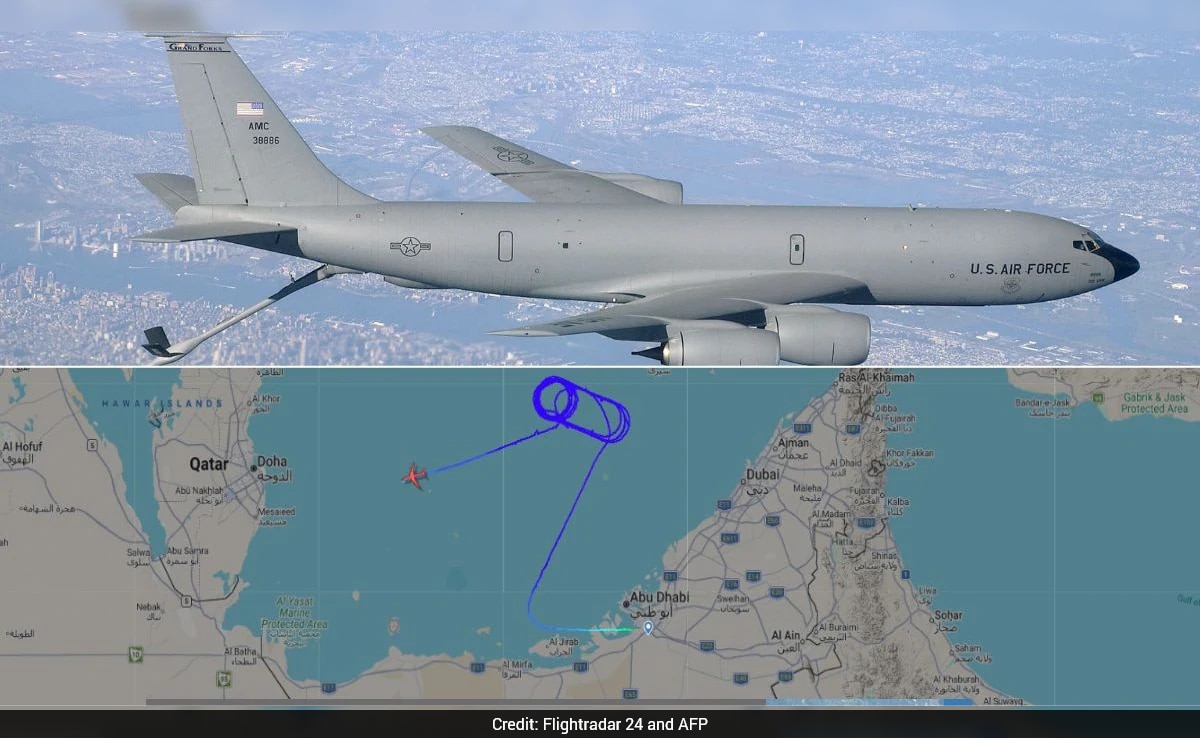
US KC-135 Stratotanker Vanishes Over Qatar After Sending Distress Signal

New Zealand Braces for Unsettled Weather with Heavy Rain and Flood Risk

Massive Cold Front Unleashes Tornadoes, Hail, and Snow Across 25 States, Strikes China and Russia
