Landsat Turns Its Night Vision Toward Volcanoes, Wildfires, and a Warming Planet
As the Earth-observing program enters its sixth decade, scientists are increasingly turning its sensors to the dark side of the planet—capturing thermal data that reveals hidden geothermal activity and fire behavior.
RUSSIA —
Key facts
- Landsat 8 and Landsat 9 now collect nighttime imagery on their ascending orbits, supplementing decades of daytime observations.
- The Thermal Infrared Sensor (TIRS) measures surface temperatures from geothermal geysers to solid ice.
- Shortwave infrared (SWIR) bands on the Operational Land Imager (OLI) can detect intense heat sources like volcanoes and active fires.
- Dr. Christopher Crawford, Landsat Project Scientist at USGS EROS, reports a noticeable uptick in nighttime imaging special requests.
- Yellowstone National Park has become a systematic nighttime observation target, with its 10,000 thermal features monitored for temperature changes.
- R. Greg Vaughan of USGS Astrogeology Science Center provided a list of active volcanoes for a consistent annual nighttime imaging campaign.
- Winter provides the best contrast for imaging Yellowstone's thermal features, as heated areas stand out against colder surroundings.
- Landsat, a joint NASA-USGS program, has provided the longest continuous record of Earth's land surface since 1972.
A New Frontier in the Dark
For more than 50 years, Landsat satellites have imaged Earth's land and near-shore surfaces in midmorning sunlight, when daily illumination is optimal. But now, as the program's two current orbiters—Landsat 8 and Landsat 9—circle the globe, they are increasingly peering into the darkness on their ascending paths, fulfilling special requests for nighttime observations. This shift is driven by a growing recognition that the dark side of Earth holds valuable data. While visible spectral bands are of limited use at night, the satellites' thermal infrared sensors can retrieve temperatures of snow, ice, and water even when the sun is below the horizon. Shortwave infrared bands can detect intense heat sources such as volcanic eruptions and wildfires, offering a new dimension to Earth observation.
Rising Demand for Nighttime Imaging
Dr. Christopher Crawford, the Landsat Project Scientist at the U.S. Geological Survey (USGS) Earth Resources Observation and Science (EROS) Center, has observed a marked increase in requests for nighttime imagery. “I’ve seen a noticeable uptick in the number of nighttime imaging special requests. That’s a very active and innovative measurement science area for Landsat right now,” Crawford said. Crawford, who leads Landsat's long-term Earth data acquisition strategy for the USGS, described nighttime imaging as an “all-purpose solution” for monitoring active volcanoes, changing ice environments, and growing wildfire hazards that threaten human safety, infrastructure, and wildlife.
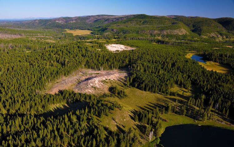
Yellowstone: A Systematic Nighttime Laboratory
A particular request for nighttime imagery that evolved into a systematic observation campaign is Yellowstone National Park. The volcanic area hosts some 10,000 thermal features—geysers, hot springs, and steam vents—that can fluctuate in temperature and even appear or disappear over time. R. Greg Vaughan of the USGS Astrogeology Science Center, who researches active volcanoes and serves as remote sensing lead for the Yellowstone Volcano Observatory, provided Crawford with a list of targets. Vaughan also shared a critical insight: the best season for imaging Yellowstone's thermal features at night is winter, when the contrast between heated features and the colder surrounding landscape is greatest.
A Consistent Campaign for Active Volcanoes
Crawford's fascination with volcanoes, combined with the enhanced capabilities after Landsat 9 launched in 2021, led to a decision to start a consistent annual campaign to capture active volcanoes at night. With two satellites carrying the same high-quality sensors, the constellation now yields an image of each land area every eight days. This regular cadence allows scientists to monitor thermal changes over time, providing critical data for understanding volcanic behavior and potential hazards. The nighttime observations complement daytime data, offering a more complete picture of Earth's dynamic surface.
The Longest Continuous Record of Earth's Surface
Landsat is a joint program of NASA and the U.S. Geological Survey that has documented Earth's surface since 1972, making it the longest continuous record of our planet's ever-evolving landscapes. The archive contains millions of images capturing everything from rivers and oxbow lakes to crop-field patchworks and mineral sediments. To mark Earth Day 2026, the organizations launched a playful name generator called “Your Name in Landsat,” which allows users to type in a word and see it rendered as vertical snapshots of terrain. The tool highlights the diversity of Earth's surface and provides exact coordinates for each image, underscoring the public accessibility of all Landsat data.
Open Questions and Future Directions
The growing interest in nighttime imaging raises questions about how to balance special requests with routine daytime observations. Crawford noted that nighttime imaging is an “active and innovative measurement science area,” but the program must manage its resources to meet both operational and research needs. As climate change intensifies wildfires, alters ice environments, and potentially influences volcanic activity, the demand for nighttime thermal data is likely to increase. Landsat's ability to detect heat sources in darkness could become an essential tool for hazard monitoring and scientific research.
A Quiet Revolution in Earth Observation
Landsat's foray into the night represents a quiet but significant expansion of its capabilities. What began as a program designed to capture Earth in daylight is now systematically exploring the dark, revealing processes that were previously invisible to its sensors. This evolution underscores the adaptability of long-running scientific programs. By listening to researchers and responding to emerging needs, Landsat continues to provide an invaluable record of a changing planet—now, even when the sun goes down.
The bottom line
- Landsat 8 and 9 now routinely collect nighttime thermal imagery, expanding the program's observational capabilities beyond daytime.
- Nighttime imaging is particularly valuable for monitoring volcanoes, wildfires, and ice environments, where heat contrasts are critical.
- Yellowstone National Park has become a systematic nighttime observation site, with winter providing optimal thermal contrast.
- A consistent annual campaign to image active volcanoes at night began after Landsat 9 launched in 2021, enabling eight-day revisit times.
- All Landsat data, including nighttime imagery, is publicly accessible, supporting a wide range of scientific and applied uses.
- The program's 50-plus-year continuous record makes it an unparalleled resource for studying long-term environmental change.


New Glenn Grounded After Second Stage Failure; Blue Origin Faces Dual Crises

SpaceX launches 29 Starlink satellites as Florida Space Coast targets record 110 launches in 2026
Панамский канал становится ареной нового противостояния США и Китая
